


A commune in the Vosges (88170) with 80 inhabitants, located north of Châtenois.
Courcelles-sous-Châtenois is an old village with a rural character, whose history is deeply rooted in that of Lorraine.
Originating in the medieval period, it was for a long time under the influence of local lordships and the Duchy of Lorraine, before joining France in the 18th century.
The village developed around agriculture and peasant life.


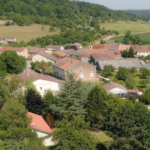

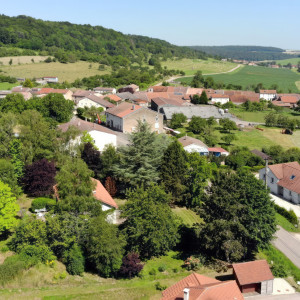


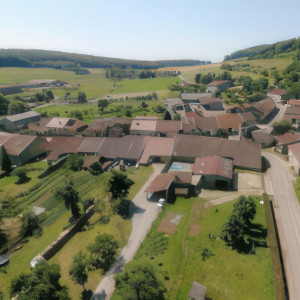
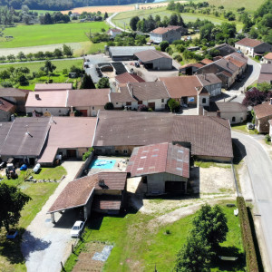

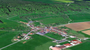

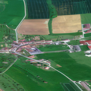


Coordonnées 48° 19′ 41″ nord, 5° 48′ 59″ est Altitude 360 m Min. 334 m Max. 471 m Superficie 2,33 km2
Voici les quatre communes les plus proches de Courcelles-sous-Châtenois :
Dolaincourt : environ 1,27 km au sud-ouest.
Vouxey : environ 2,64 km au nord.
Balléville : environ 2,97 km au nord-ouest.
Châtenois : environ 3,06 km à l'ouest.
Ces distances sont calculées à vol d'oiseau.
Voici les quatre communes les plus proches de Courcelles-sous-Châtenois :
Dolaincourt : environ 1,27 km au sud-ouest.
Vouxey : environ 2,64 km au nord.
Balléville : environ 2,97 km au nord-ouest.
Châtenois : environ 3,06 km à l'ouest.
Ces distances sont calculées à vol d'oiseau.
⤵ More information
